 Login

Yellow warning as hail and gale force winds to hit island
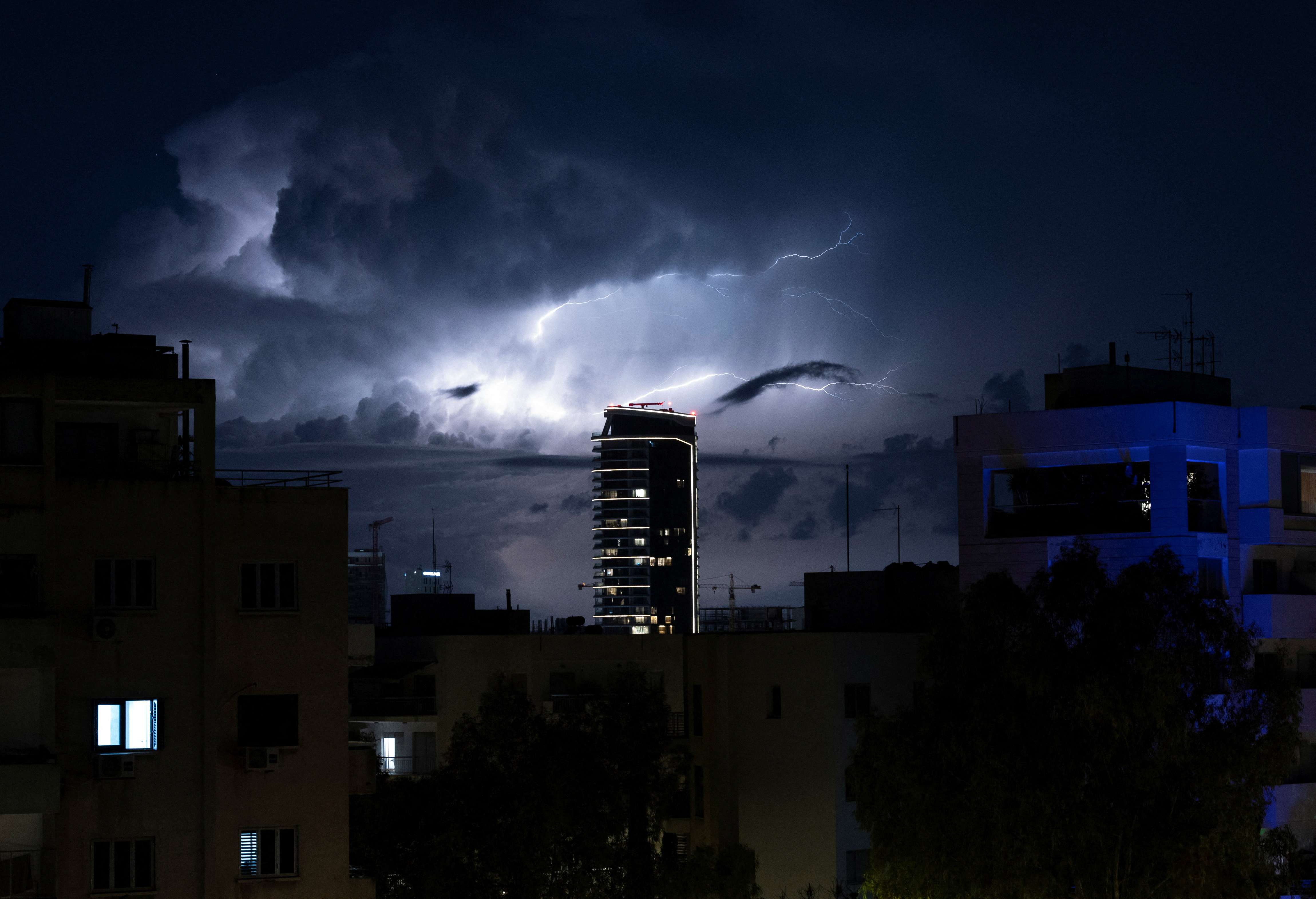
A new yellow warning is in place for Thursday, as areas with thunderstorms are expected to be hit by hail and gale force winds.
The warning is valid from 9am till 5pm, initially to the west and later in other areas as well.
Winds on Thursday will start off as a southwest moderate to fresh breeze of 4 to 5 Beaufort, with near gale to gale force winds of 7 to 8 Beaufort during thunderstorms, over moderate to rough seas.
Temperatures will reach 23C inland and along the coast, and 12C in the highest mountains.
Thursday night will be cloudy with isolated showers along the coast.
Winds will be a southwest to west moderate to fresh breeze of 4 to 5 Beaufort, over moderate to rough seas.
Temperatures will drop to 12C inland and along the coast, and to 4C in the highest mountains.
Friday and Saturday will be cloudy with a few isolated showers, with thunderstorms returning on Sunday at noon.
Temperatures will gradually rise to the seasonal average.