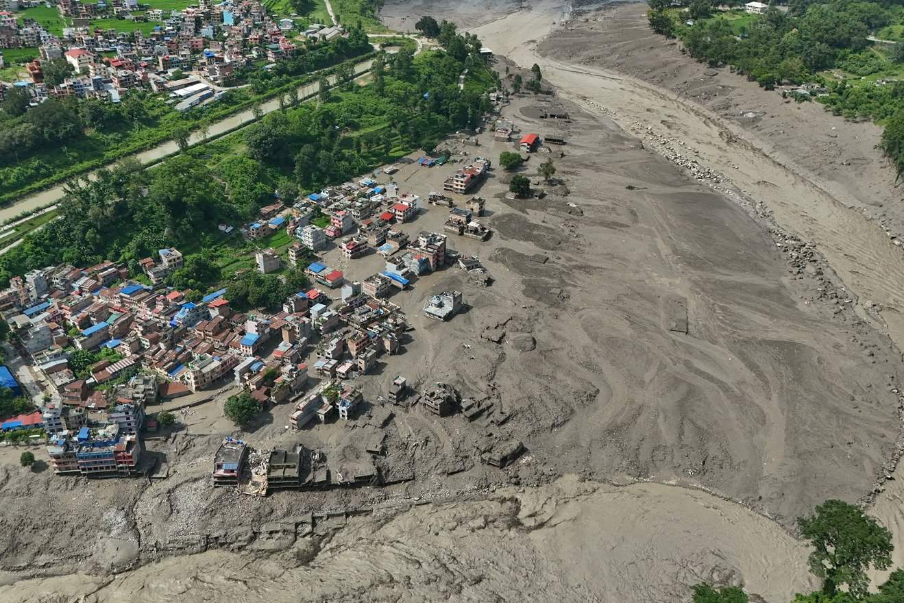
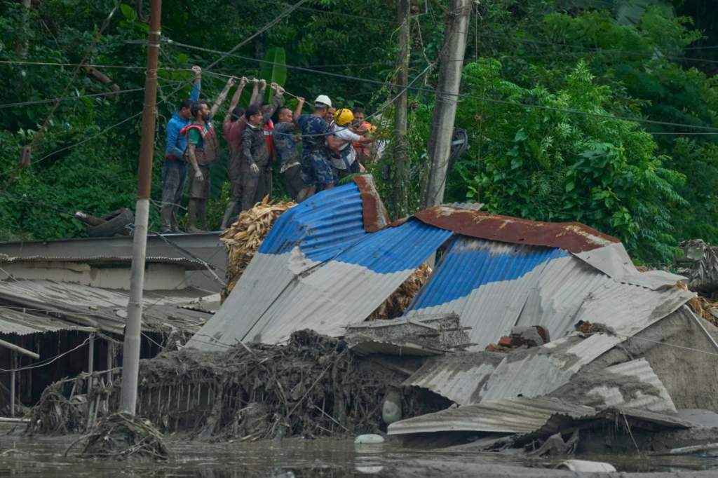
Rescuers combed through a remote area in the Chinese region of Tibet on Friday after a magnitude 7 earthquake that killed at least 16 people, injuring 54 and collapsing hundreds of homes, according to Chinese state media.
A magnitude 7.0 earthquake struck the Xizang and Qinghai regions of southern China on Thursday, killing at least 16 people and injuring 32 others.
Seismological monitoringplaced the epicenter 202 kilometers north of Nagqu prefecture-level city in the Tibet Region, at a depth of ten kilometers.
The shallow focus amplified the tremor’s destructive force, sending shock waves across the autonomous region and into border areas of neighboring countries.
The quake’s reach extended well beyond China’s borders, underscoring the scale of the event in a mountainous zone near the Himalaya range. Residents across the Himalayan chain felt the shaking, with alerts reported among populations in India, Myanmar and Nepal.
Rescue brigades and Chinese government agencies deployed immediately to the ground. Teams began assessing possible damage to infrastructure and attending to communities near the epicenter, where access routes and basic services could have been compromised.
A 7.0-magnitude earthquake struck Baqen County of Nagqu City in southwest China's Xizang Autonomous Region, at 10:33 p.m. Thursday (Beijing Time), according to the China Earthquake Networks Center (CENC). #XinhuaNewspic.twitter.com/ewln8dGEvn
Local authorities are conducting technical inspections in the Nagqu area, a settlement of about 30,000 inhabitants, and in Lhasa, the second-closest locality to the quake’s center. Emergency crews are checking the network of basic services and road structures in rural counties to rule out major damage from possible landslides.
Early Warning Network
China’s natural disaster response committees remain deployed as a preventive measure to coordinate logistical assistance and protect families living in zones of high seismic risk.
That response now leans on infrastructure the country has spent years building. In July, China consolidated the deployment of the world’s most extensive earthquake early warning system, a scientific network capable of issuing real-time alerts within seconds of detecting the first seismic movements.
The mechanism exploits a basic principle of physics, radio waves travel faster than seismic waves. That gap allows notifications to be triggered from magnitudes as low as 1.0, buying precious minutes for people to seek protection before the shaking arrives. The system covers more than 90% of the key risk areas across Chinese territory and generates intensity reports within minutes. Officials describe it as essential technical support for decision-making in rescue operations.
🇨🇳 A 7.0-magnitude earthquake in China's remote Tibet region has killed at least 16 people and injured dozens more, state media reports, with hundreds of houses collapsed. pic.twitter.com/IAH9IzVSHh
Emergency management institutions maintain permanent monitoring in the most vulnerable areas, linking cutting-edge research with direct operational response to natural disasters.
The quake arrives against a backdrop of recent tragedy in the region. A flood in Nepal and Tibet left at least 1,143 people dead and the mountainous terrain now faces a new emergency demanding the same mobilization of rescue resources.
With the preliminary toll still being updated, the priority has shifted to reaching remote settlements where landslides may have cut roads and interrupted communications. The full extent of the damage will depend on how quickly those rural counties can be reached and assessed.
A huge wall of mud and rock collapsed into a river on the Himalayan border of Nepal and China's Tibet on Wednesday, triggering catastrophic flooding on the Nepali side.

 Login